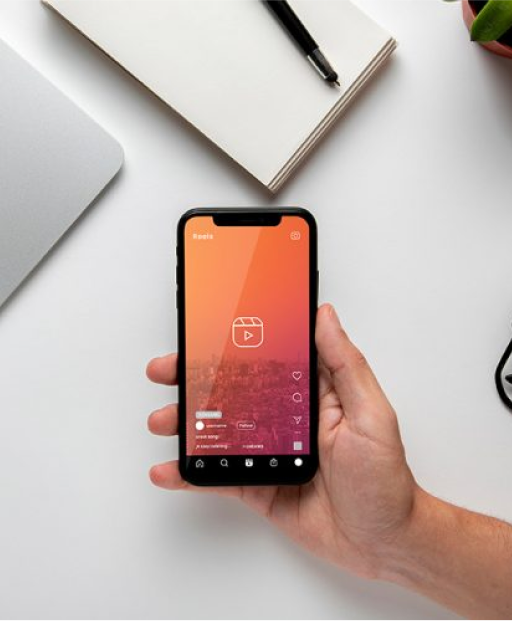
Our mobile field data collection tools streamline workflows and boost productivity, ensuring you capture the most accurate and up-to-date location information.
Highly accurate primary source data, fresh, fully customized.
2D and 360 road images, 1-6 months data age, fully customized.
Platforms to integrate data sources with full suite of data management services.
Navigating the complexities of Southeast Asia requires more than just data; it demands a deep understanding of the local landscape. That’s where Voyager comes in. Our suite of hyperlocal data products and services provides unparalleled insights into the nuances of this dynamic region, empowering businesses like yours to make informed decisions and achieve sustainable growth.
Access a comprehensive and constantly updated library of 2D and 360° street-level images, captured by our dedicated hyperlocal teams.
Say goodbye to stale, generic data. Voyager provides highly accurate, primary source data that is fully customizable to your specific needs, ensuring you have the most relevant and up-to-date information at your fingertips.
Seamlessly integrate Voyager's data with your existing systems through our powerful platform. Our cutting-edge technology streamlines data management, enabling you to effortlessly access and analyze the information you need.
Harness the power of artificial intelligence with our robust computer vision models. Trained on millions of meticulously annotated Points of Interest (POIs) and street-level images, our AI algorithms deliver accurate text recognition, object detection, and in-depth analysis of real-world scenes.
Access hyperlocal insights that provide a deeper understanding of your target markets, enabling you to make data-driven decisions that drive success.
Improve logistics, refine marketing strategies, and enhance customer experiences with accurate, real-time location data.
Develop cutting-edge applications and solutions with Voyager's comprehensive data and advanced AI capabilities.
Imagine an FMCG company looking to optimize its distribution network in a rapidly growing Southeast Asian city or a Telco company planning to expand its infrastructure. With Voyager, they can:
Identify optimal locations for new retail outlets or cell towers by analyzing street-level imagery to understand pedestrian traffic, competitor presence, and accessibility.
Plan efficient delivery routes by leveraging real-time traffic data and identifying road closures or congestion hotspots.
Monitor competitor activity by analyzing street-level imagery to track the emergence of new stores, promotional campaigns, and product placements.
Assess the condition of existing infrastructure such as billboards, signage, and Telco equipment by reviewing historical street-level imagery.
By providing granular, hyperlocal insights, Voyager empowers FMCG and Telco companies to make strategic decisions that optimize their operations, reduce costs, and enhance their market reach.
Our success in creating business solutions is due in large part to
our talented and highly committed team.


Enhance your business with precise, location-based insights from our fresh, real-world data.

Error: Contact form not found.